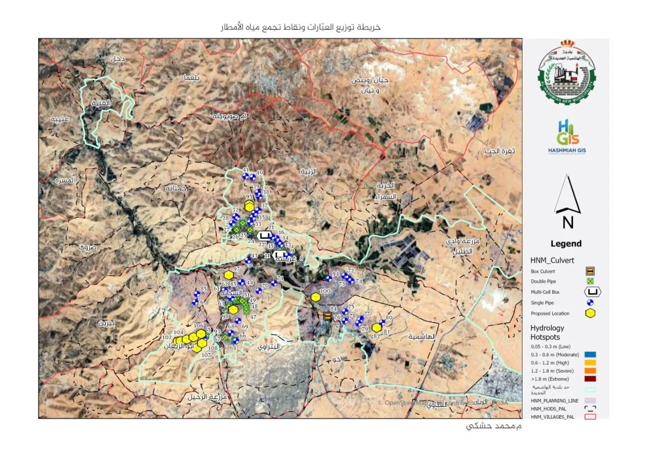
Khaberni - Al Hashemiya New Municipality announced the completion of the "Digital Simulation for Water Pathways and Culvert Inventory" project using Geographic Information Systems (GIS), as a step aimed at updating the infrastructure and adopting institution-based systematic planning.
Hussein Qasim Boulad, the Mayor, emphasized the importance of this professional work accomplished by the technical staff including the engineer Mohamed Al Hashki from the GIS department, in field cooperation with engineer Adnan Al Ziyoud and engineer Ibrahim Wainakh from the General Maintenance and Workshops department.
Key outputs of the project:
Culvert Inventory and Management: Documenting and inventorying all locations that require reinforcement or immediate maintenance to ensure their high readiness.
Study of Proposed Culverts: Identifying strategic locations for constructing new culverts based on the study of surface runoff paths to ensure the sustainability of engineering solutions.
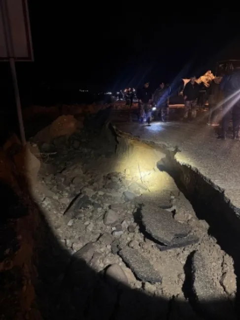
Future Solutions: Work is ongoing to develop comprehensive engineering plans to radically solve water pooling issues in low-lying areas.
This project marks a turning point in managing the rainwater drainage network, contributing to providing a safe and sustainable environment for the residents of Al Hashemiya district.