Khaberni - The latest outputs of weather maps indicate that the kingdom will be affected by a third-degree depression starting from Monday night, with increased effects by dawn and during Tuesday.
What are the main features of this expected depression?
The weather depression is deep: the upcoming depression is categorized as deep due to the significant drop in atmospheric pressure values at its center compared to surrounding areas.
It is accompanied by an extremely cold air mass and a significant drop in temperatures: the depression is accompanied by the surge of an extremely cold air mass, leading to a significant drop in temperatures, especially during the day on Tuesday, where the high will reach 5–7 degrees Celsius, and cold to extremely cold weather will prevail, with active winds and no sun due to the clouds, which significantly increases the feeling of coldness.
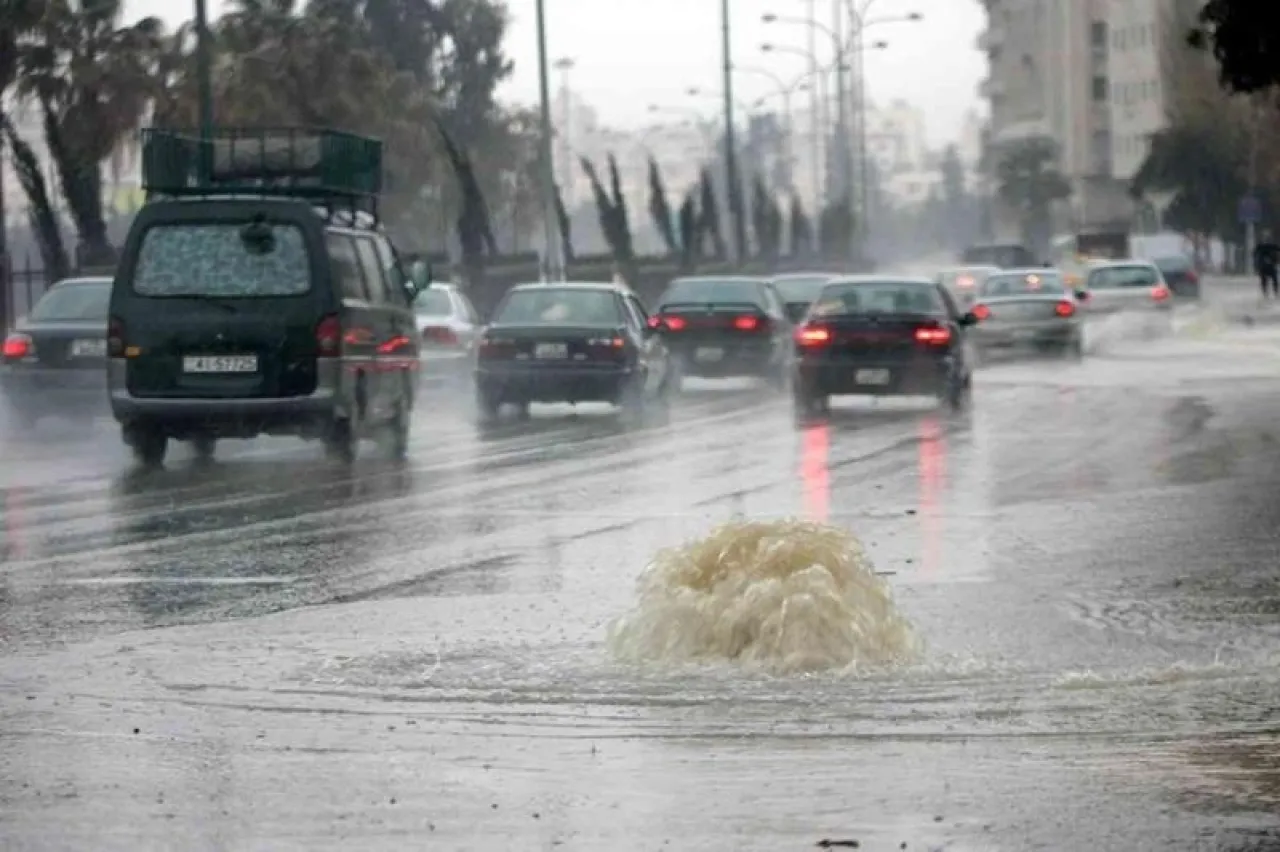
The air mass is loaded with high humidity despite being very cold: Despite the severity of the coldness of the air mass, it is saturated with moisture, which increases the rainfall amounts in several areas, and forecasts indicate that rainfall could range between 40–90 mm especially in the north and central parts of the kingdom, and locally it might be higher than that, with warnings of flash floods and rising water levels in valleys and low-lying areas.
Thunderstorms and locally heavy hail: The rain is sometimes accompanied by thunderstorms, and the occurrence of heavy hail showers in some areas, especially mountainous heights, particularly during the peak of the depression’s impact.
Strong winds and severe gusts: The speed of the winds intensifies with the passage of the depression, being active with strong gusts, which may exceed 90 km/h, especially in the southern highlands, as well as in the desert and eastern plains areas, which may lead to dust storms in some areas before the rainfall.