Khaberni - Satellite images indicate the movement of a Khamasin-like low pressure towards the eastern basin of the Mediterranean Sea, specifically opposite the northern Egyptian coasts.
According to Arab Weather, this low pressure has deepened in that area as a result of merging with a cold air mass centered over the waters of the Mediterranean Sea, which led to an additional decrease in the atmospheric pressure values at the center of the low pressure.
It is expected, God willing, that this deepening in the Khamasin low pressure will lead to sharp weather fluctuations in many countries of the region in the coming hours and the rest of the day, represented by the following:
First: Strong winds and dense dust waves
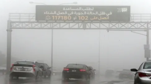
It is expected that the low pressure will be accompanied by clear activity in the wind speed across the eastern Mediterranean regions, where strong winds blow, sometimes accompanied by severe gusts. These winds lead to the stirring of dense dust waves, especially in areas of northern Egypt, the Levant, parts of northern Saudi Arabia, and Iraq, leading to a significant, and perhaps substantial, reduction in horizontal visibility in some areas, especially in desert and exposed areas.
Second: Significant disruption in maritime navigation and increased wave height
The active winds associated with the low pressure lead to significant disruption in maritime navigation in the eastern Mediterranean regions, with wave heights expected to reach between 2.5 and 3 meters in some areas, especially off the Syrian and Lebanese coasts. The sea disturbance extends along the coastal strip of the Levant, northern Egypt, parts of the Turkish coasts, and the island of Cyprus, which may cause difficulty in maritime navigation operations during this period.
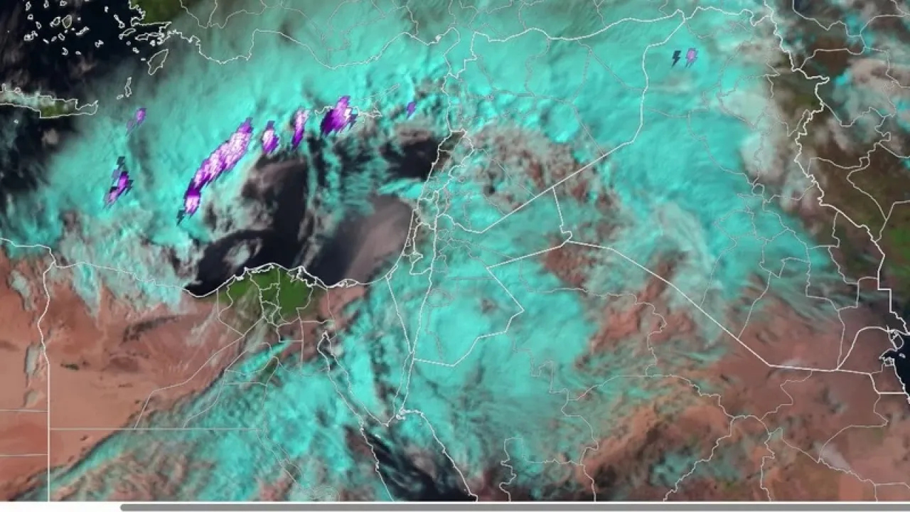
Third: Thunderclouds and rain of varying intensity accompanied by hail
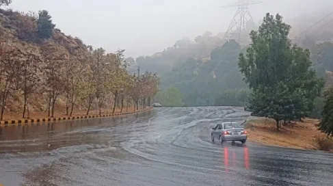
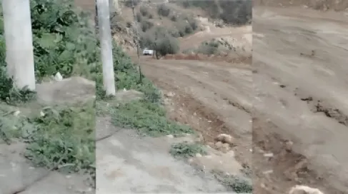
It is expected that the merging of the Khamasin low pressure with the cold air mass in the upper atmospheric layers will lead to the emergence of a widespread state of atmospheric instability in the eastern Mediterranean regions, including Jordan. This results in the formation of cumulonimbus clouds with incoming thunder during the upcoming hours, especially during the afternoon and evening periods, accompanied by rainfall of varying intensity from one area to another, which may sometimes be heavy in certain geographical ranges, and locally accompanied by hail showers and occurrences of lightning and thunder.
These weather conditions may result in an increased risk of running valleys and gullies and the formation of sudden or transferred floods in some areas, so it is advisable to follow weather updates and take precaution and care during the period of unstable weather conditions in the coming hours.