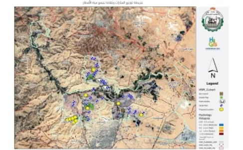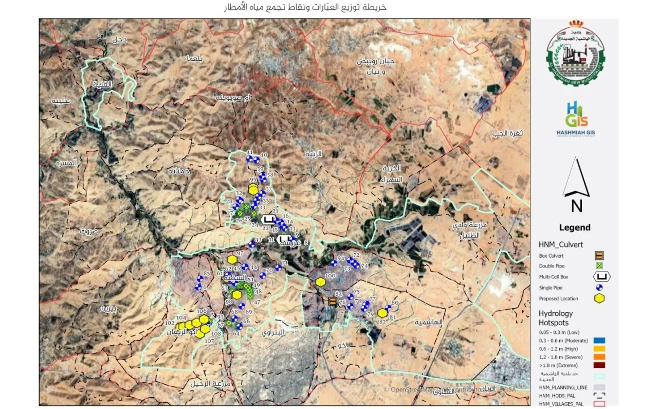
Khaberni - Al Hashmiyah Municipality has announced the completion of the "Smart Maps" or "Digital Simulation of Water Routes and Inventory of Culverts" project using Geographic Information Systems (GIS).
The head of the municipal committee, Hussein Bolad, said today, Sunday, the project involved inventory and treating culverts through documenting locations needing reinforcement or immediate maintenance to ensure their readiness, in addition to studying proposed culverts to determine strategic locations for constructing new ones based on the study of surface flow paths to ensure the sustainability of engineering solutions.
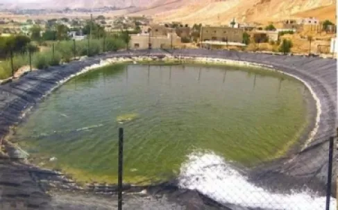
It is noted that the project includes developing comprehensive engineering plans to radically end water pooling (ponds) in low areas, and this project marks a turning point in managing the stormwater drainage network, contributing to providing a safe and sustainable environment for the residents of Al Hashmiyah.