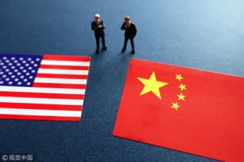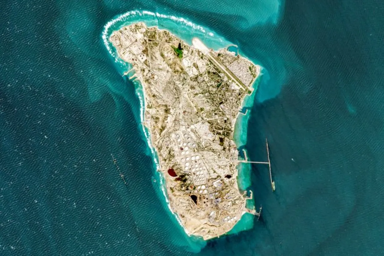
Khaberni - Satellite images obtained by Al Jazeera's Open Source Unit from the European satellite "Sentinel 2" show traces of what might be oil spills near the Iranian island of Khark, which have spread over a wide area within the waters of the Gulf.
The visual comparison between images taken on April 18th and recent ones taken on May 6th, reveals the spread of suspicious materials on the sea surface west and southwest of the island, extending for several kilometers.
The pictures also document the spread of light surface patches that match the characteristics of known marine oil spills in satellite images.
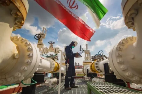
Khark Island holds a key position in the Iranian oil export system, as it handles between 85 to 90% of Iran's oil exports, making it the most sensitive economic artery in Iran’s strategic infrastructure. This adds significant importance to any incident in its maritime surroundings, surpassing its immediate geographical scope.
What did the satellite images also reveal?
The analysis of satellite images taken on May 6th shows the presence of two oil tankers at the eastern dock branching from the island, along with another ship sailing off the west coast. The images also document the docking of oil tankers at the export piers.
This data indicates the ongoing operational activity of the country's most important oil station, continuing from what was documented by previous images in late March, which at the time revealed the presence of five giant tankers ranging from 218 to 330 meters long, undergoing loading, accompanied by fast boats belonging to the Iranian Revolutionary Guard, according to analysis done by Al Jazeera’s Open Source Unit.
The visual analysis of the same image aligns with the possibilities that the source of the leak might be the oil tankers during loading or transit operations, in addition to other possibilities related to leaks from submarine pipelines connecting the island to the Iranian mainland, or leaks from the facilities on the island itself.
Khark Island.. Iran's Economic Lifeline
Khark Island, part of Bushehr Province, is one of the most strategic centers in Iran as it serves as the main outlet for Iranian oil exports through the Gulf and is also one of the oldest settled islands in the Gulf.
This strategic island is located about 30 kilometers off the Iranian coast and is the largest open oil exporting station in the world, with a loading capacity of up to 7 million barrels per day.
And the island faces a silent geological disaster if the American blockade continues and the wells stop pumping due to the storage crisis. The oil wells on the island might lose up to 70% of their productivity once they stop pumping for extended periods.