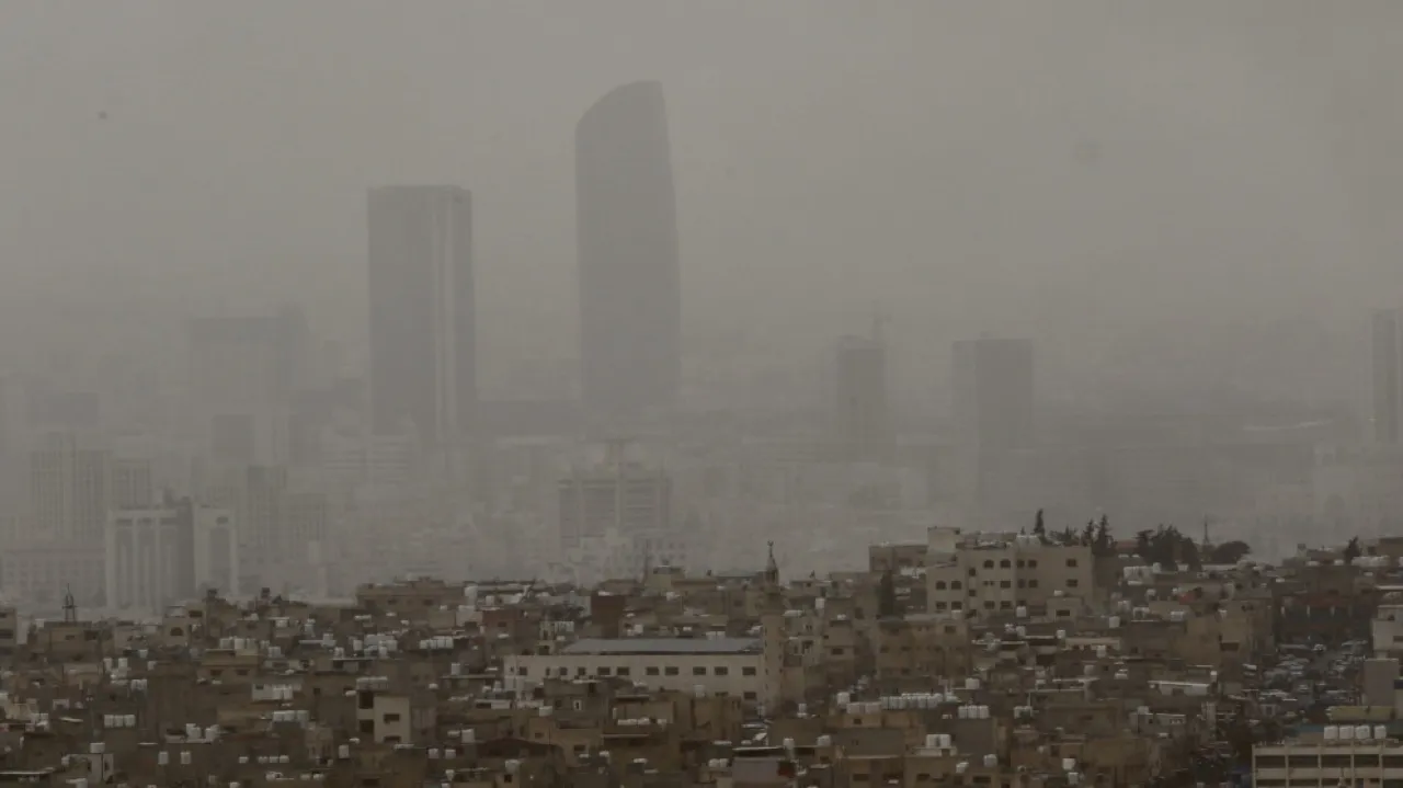
Khaberni - Satellite images show a deep Khamsini low pressure positioned to the northeast of Libyan territories, leading to strong winds that cause sandstorms over large parts of eastern Libya and western regions of Egypt.
It is expected during the next 48 hours, on Friday and Saturday, that this Khamsini low pressure will gradually move towards the waters of the eastern Mediterranean basin, approaching closer to the region's atmosphere over the next two days. According to the data, this depression is anticipated to contribute to the emergence of unstable weather conditions affecting parts of Egypt and the Levant, including Jordan, Palestine, Syria, Lebanon, as well as Iraq and various regions of the Arabian Peninsula.
This situation is characterized by an increase in dust levels in the atmosphere, leading to dusty Khamsini conditions prevailing in many areas, coinciding with an increased chance of forming cumulonimbus thunderclouds that may be accompanied by rainfall of varying intensity, sometimes heavy in narrow geographic zones, and accompanied by hail showers, which could lead to the flow of valleys and rising water levels in some areas.
These thunderclouds are characterized by the occurrence of what is known as sudden strong winds, which may cause the formation of sandstorms in several areas of the Levant, Iraq, and the Arabian Peninsula, significantly reducing the horizontal visibility range, and perhaps making it nonexistent at times.
And Allah knows best.