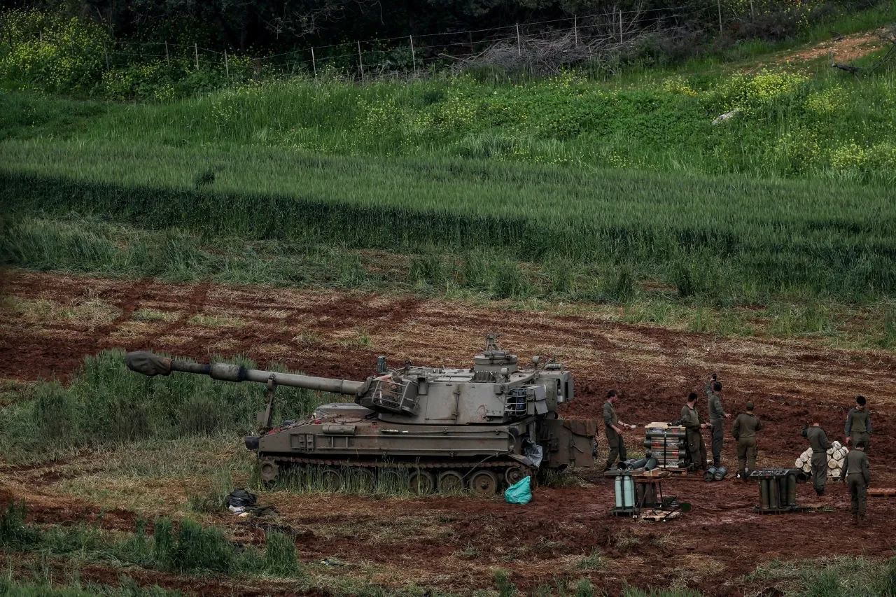
Khaberni - Israeli Defense Minister, Israel Katz, announced that the Israeli army will not withdraw from southern Lebanon, and will control the area extending to the Litani River.
Katz added in statements on Tuesday that "upon completion of the operation, the Israeli army will be deployed in a security zone within Lebanese territory along the anti-tank missile defense line, and the army will control all the territory up to the Litani River, and all houses in villages near the border will be demolished, as happened in Rafah and Beit Hanoun."
He also confirmed that "more than 600,000 residents of southern Lebanon, who were evacuated to the north, will be banned from returning until the safety of the residents of northern Israel is ensured," according to him.
So what is the area of this buffer zone?
It should first be clarified, before discussing the buffer zone, that Israeli forces have penetrated several Lebanese border towns and villages since March 2nd, reaching up to 8 km inside the borders, as confirmed last Friday by Lebanese Defense Minister, Michel Mansi.
A ministerial source also confirmed that Israel is seeking to penetrate up to the Litani River, a distance equivalent to 10% of Lebanon's area.
Estimates on the ultimate depth of the area vary, but the Israeli plan moves in two phases: the first phase involves an immediate security belt extending 10 to 15 kilometers from the "Blue Line" (the international border), aiming to prevent anti-tank missile fire and infantry breaches.
The Extended Phase
The extended phase involves penetration up to the Litani River, which is about 30 kilometers away from the borders at some points.
The targeted area in securing this belt is estimated to be about 1,200 square kilometers, which is roughly 10% of the geographical area of Lebanon.
Moreover, the buffer zone will include dozens of villages and towns, most of whose residents have been forcibly evacuated, concentrated in the western, central, and eastern sectors. The western sector includes the Naqoura region (the coastal fulcrum), Ras Al-Bayada—a strategic hill overlooking the city of Tyre—besides Alma al-Shaab, Al-Duhaira, and Marwahine.
The central sector contains Bint Jbeil, Aita al-Shaab, Maroun al-Ras, Mays al-Jabal, all of which underwent systematic demolition and extensive leveling to create a "scorched earth" zone devoid of buildings.
Meanwhile, the eastern sector includes the strategic town of Al-Khiyam, overlooking the Hula Valley, as well as Shebaa and Kfarshouba (rugged mountain areas extending to the slopes of Mount Hermon), as well as Kafr Tibnit and Deir al-Zahrani which were covered in the last expansion and bombardment processes as the penetration moved further north.
This comes as the Israeli army adopts a "scorched earth" strategy in the border villages (first and second lines), where residential blocks have been completely blown up to prevent their future use as surveillance points or launch points, with a ban imposed on the return of Lebanese displaced to any area south of the Litani River until "further notice," as announced by the Israeli army repeatedly recently.
During the past period, Israeli forces have also struck bridges in order to cut off access to southern Lebanon.