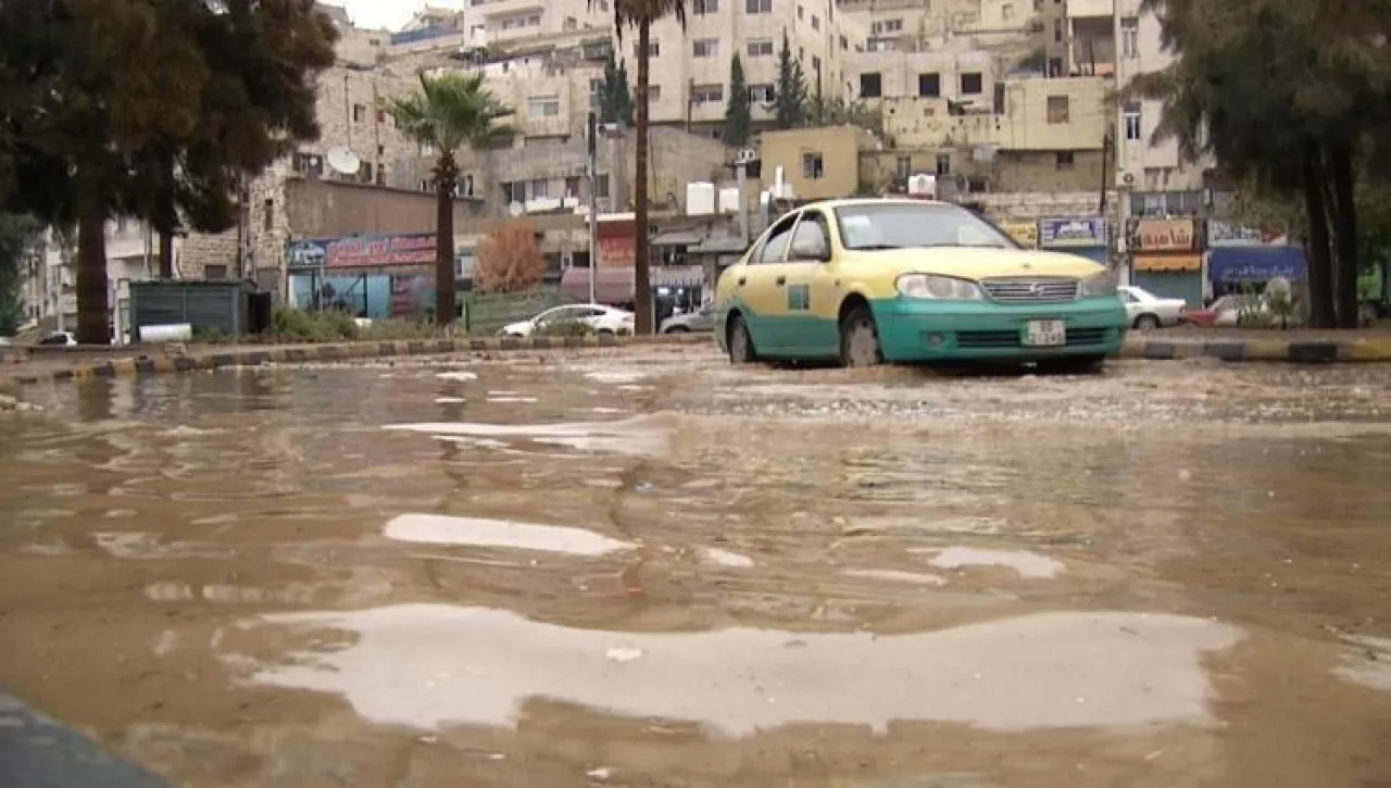
Khaberni - The director of the National Center for Agricultural Research, Ibrahim Ar-Rawashdeh, said on Thursday that the launch of the national program for flood mapping aims to enhance readiness and improve the efficiency of risk management in Jordan.
Al-Rawashdeh explained that the areas of Aqaba and Wadi Zarqa Ma'in were chosen within the national program for flood mapping for their high sensitivity to floods and the overlap of human activities in them, according to the kingdom.
He pointed out that subsequent phases will include the rest of the regions of the kingdom, which will contribute to supporting emergency plans and rapid response and raising the level of community awareness.
He clarified that the program focuses on preparing comprehensive plans to reduce flood risks and protect lives and properties, through the development of accurate maps for sudden floods, especially in light of climate change and the increased severity of extreme weather phenomena.
Al-Rawashdeh added that the program includes awareness programs for farmers and all those concerned with the agricultural sector, to educate them about the areas that may experience flash floods or floods during the winter season.