Khaberni - The latest outputs of computer simulation maps indicate that the Kingdom will gradually be affected starting from the morning hours of Thursday, January 1, 2026, by a low-pressure system classified as third degree (medium to high effectiveness), which is the third low-pressure system to affect the Kingdom during the current week.
Summary and classification of the low-pressure system:
Grade: Third (medium to high effectiveness)
Actual impact period: About 36 hours from Thursday morning until noon Friday
Expected rainfall: 20 to 80 mm
Wind gust speeds: 70 km/h and may exceed that locally, especially in the southern highlands, stirring up dust waves in the eastern desert.
Temperatures: 2-8 degrees Celsius.
Snow: Not expected
The timeline for the third-degree classified low-pressure system:
Thursday morning: A cold air front passes through the north of the Kingdom in the morning accompanied by heavy rains
Therefore, it is expected during the morning hours of Thursday for a cold air front to cross over the northern regions of the Kingdom, with the weather being generally cloudy, and heavy rain falling across the northern areas, leading to significant flow in valleys and streams, and gradually during the day the wind speed intensifies in most areas of the Kingdom, and most regions are temporarily spared from rainfall (except the north of the Kingdom and some central parts).
Thursday evening/night: Arrival of a high-effectiveness cold front extending the rain area
With the evening and night hours, the impact of the low-pressure system intensifies, a slow-moving, high-effectiveness cold air front arrives in the central regions after completing its passage through the northern area so that rainfall extends to include the capital Amman, Balqa, and parts of Zarqa and Madaba governorates, to then gradually spread around midnight on Thursday/Friday to Karak governorate, and it is heavy at times. With the soil and ground already saturated with moisture and water from heavy rains several days earlier during the week that passed, it is expected from:
Very large flow of valleys and gullies
Formation of torrents and sweeping floods, including in the northern and central Jordan Valley areas
Large water pools on roads
Possibility of soil and rock drifts
Friday daytime: The low-pressure system moves away from the Kingdom with very cold weather
During the rest of Friday, the low-pressure system gradually moves away from the Kingdom, but cold and moist air currents continue to impact, and temperatures remain below general averages by about 3–4 degrees Celsius, with generally cold weather prevailing and clouds appearing at various heights, and continues the chance of rainfall from time to time in parts of the north and central Kingdom and some southern highlands.
Friday/Saturday night: Beginning of the impact of the Siberian high-pressure system and frost in several areas
And by the will of God, it is expected with the night hours for the Kingdom to begin being affected by the Siberian high-pressure system, where a noticeable drop in night temperatures occurs, and the weather becomes extremely cold in most areas, with predictions of frost occurring at night in several regions.
Due to the effects of the low-pressure system, we recommend the following:
Wearing warm clothing, especially during the night and early morning hours.
Practicing safe use of heating devices.
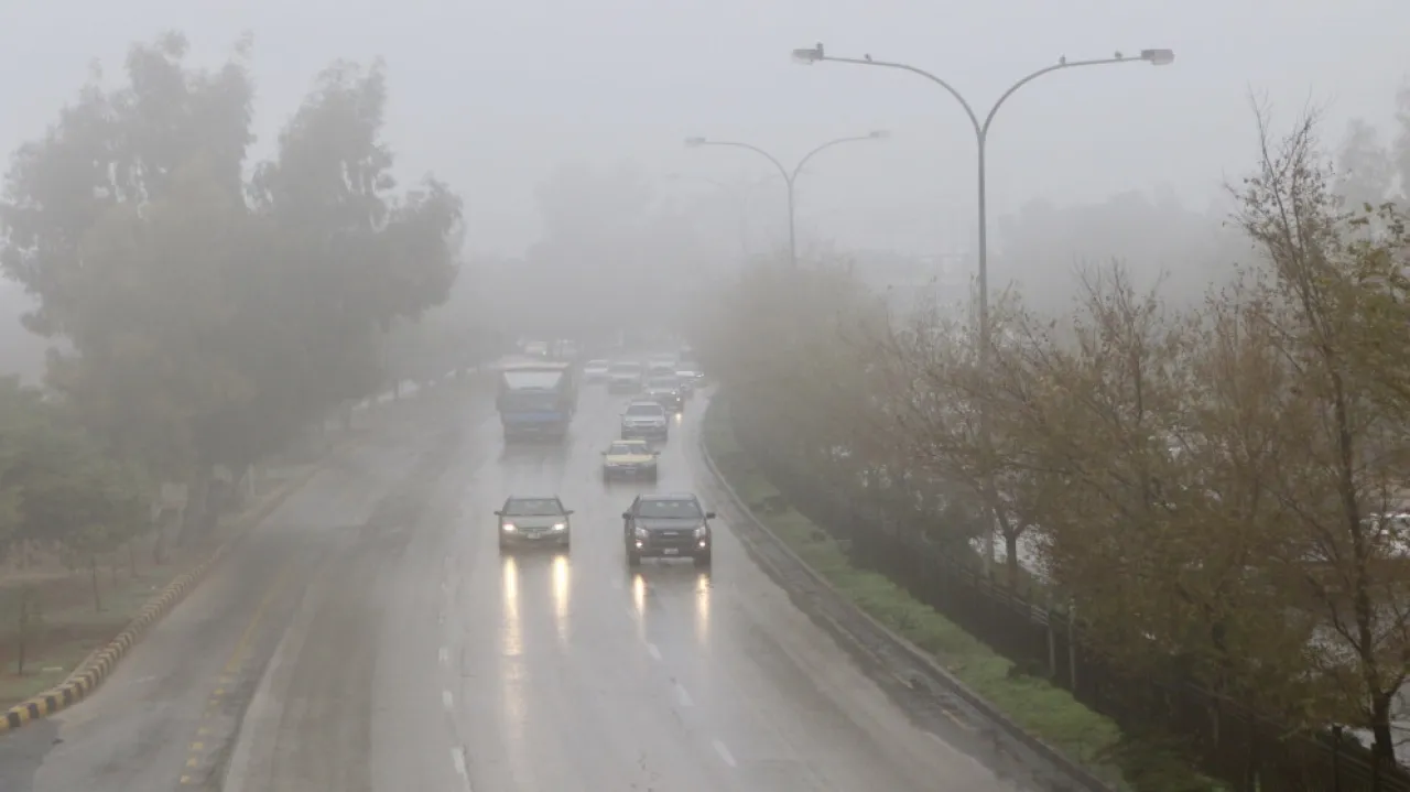
Driving cautiously and maintaining a sufficient safety distance during rain and fog.
Being aware of the danger of floods and flowing valleys, especially in low-lying areas and typical flood formation sites.
Being cautious of soil and rock collapses, especially in the southern highlands and areas of slopes and valleys.
Being vigilant of dense fog and reduced horizontal visibility on external roads.


