Khaberni - Arab Weather maps indicate the formation of a new weather depression on Thursday, the first day of the new year 2026, concentrated in the north of the kingdom from early morning hours, where a highly effective cold air front slowly crosses the north of the kingdom, expected to reach the central and Karak regions later on Thursday and the night of Thursday/Friday.
As a result, rainfalls will renew for the third time this week, being extremely heavy across the north of the kingdom, leading to significant runoff in valleys and formation of flash floods.
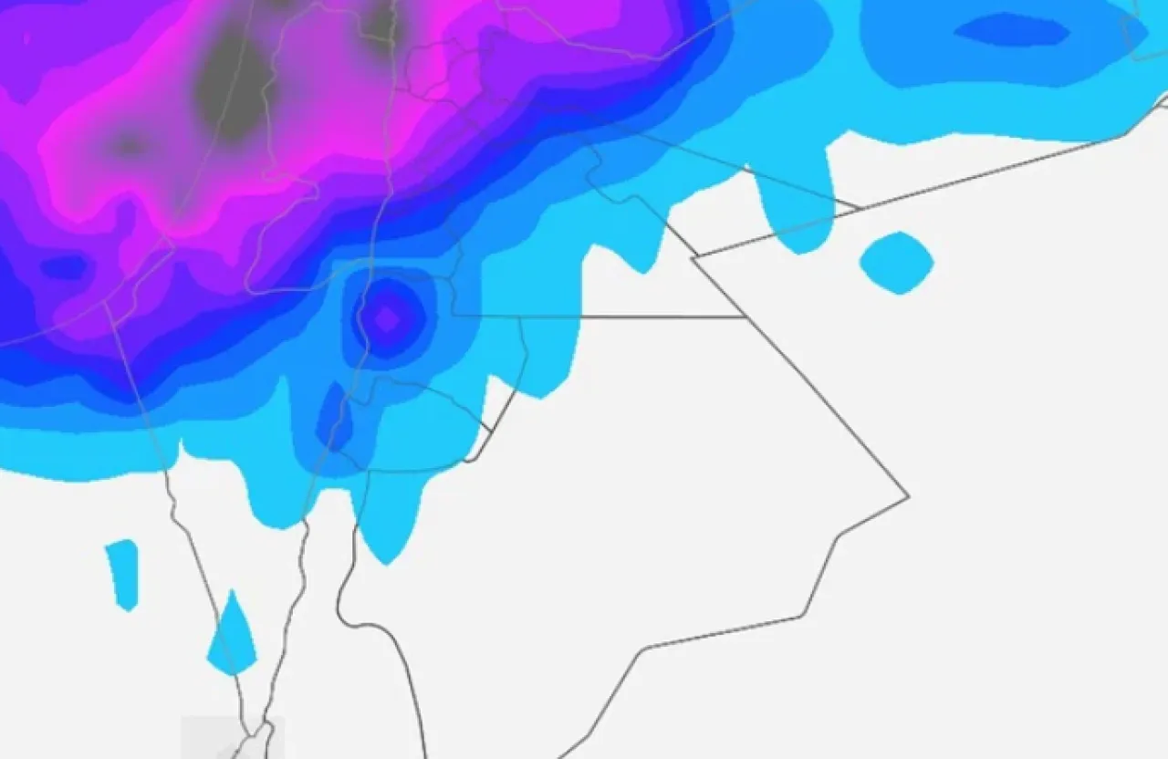
During the day, wind speed picks up across most areas of the kingdom, with most areas except the north temporarily spared from rainfall.
Evening and night of Thursday/Friday: Arrival of a highly effective cold air front to the central areas and expanding rain coverage
During the evening and night, the impact of the weather depression intensifies, a slow-moving highly effective cold air front reaches the central areas and Karak after having moved across the northern region, with rainfalls extending to include the capital Amman, Al-Balqa, and parts of Zarqa Governorate, later extending to Madaba and Karak Governorates, being heavy at times.
Given the saturation of the soil and the ground with moisture and water and previous heavy rains over several days last week, it is recommended due to:
1) Very high runoff in valleys and gullies
2) Formation of flooding and torrential floods, including the northern and central Jordan Valley areas
3) Large water gatherings on roads
4) Potential for soil and rock slides
During Friday: Depression moves away from the kingdom with extremely cold weather
Throughout the rest of Friday, the weather depression gradually moves away from the kingdom, yet cold and humid air currents continue to affect, and temperatures remain below the general averages by about 3–4 degrees Celsius.
Cold weather generally prevails with clouds at various altitudes, and chances of rainfall continue intermittently in parts of northern and central the kingdom and some southern highlands.
Night of Friday/Saturday: Start of the influence of the Siberian high pressure and frosts in several areas
By God's will, it is expected that starting from the evening hours, the kingdom begins to be influenced by the Siberian high pressure, leading to a noticeable drop in night temperatures, and the weather becoming extremely cold in most regions, with expectations of frost at night in several areas.
In light of these prevailing weather conditions, during this weather situation, it is recommended:
1) Wearing warm clothing especially during night and early morning hours.
2) Ensuring safe use of heating devices.
3) Driving cautiously and maintaining a sufficient safety distance during rain and fog.
4) Being aware of the dangers of flash floods and valley flows, especially in low-lying areas and usual flood forming locations.
5) Caution of landslides and rockfalls, particularly in the southern highlands and areas of slopes and valleys.
6) Beware of dense fog and low horizontal visibility on outer roads.