Khaberni -Satellite images showed that forest fires on the Syrian coast destroyed about 16.6 thousand hectares of forests and agricultural lands in Latakia governorate.
This estimate was based on an analysis conducted by the "Sanad" agency of Al Jazeera Network, by comparing the vegetation cover between July 12 and 28, as it revealed the extent of damage caused by fires that erupted 10 days ago.
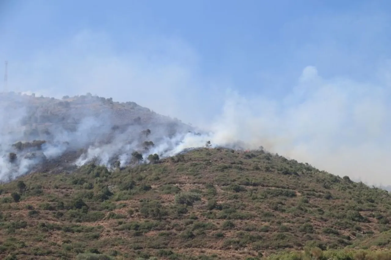
The images also showed the extinguishing of 5 foci in the Latakia mountains, with one remaining focus in the northeast, which the civil protection teams later announced control over.
"Sanad" agency analyzed the total area of the fires, showing that the largest focus consumed about 14,868 hectares, while the total area of other foci reached approximately 1,800 hectares.
During the summer, areas in rural Latakia experience fires due to high temperatures, the density of trees in that region, and wind speed, making it difficult to extinguish them.
Today, Sunday, the Syrian civil defense announced control over most of the forest fires, continuing its efforts to cool down some foci that are still widespread in the mountains, fearing the expansion of the fires again.
Winds and the presence of mines and war remnants, as well as rough terrain and limited resources, complicated the fire extinguishing efforts that continued over 10 consecutive days.